UPDATE ----Wayne County blanketed
By News-Argus Staff
Published in News on January 4, 2018 8:59 AM
News-Argus/CASEY MOZINGO
A few travelers drive under the Ash Street overpass on US 117 Thursday morning.
 Full Size
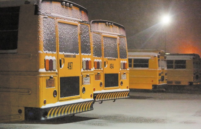
News-Argus/CASEY MOZINGO
Snow begins to accumulate at Spring Creek High School Wednesday night just after 10 p.m.
Update (10:50 a.m.) ---- N.C. Department of Transportation crews worked overnight Wednesday and are working all day today in an effort to clear off the snow that has blanketed Wayne County.
The crews pre-treated roads and bridges with a brine solution prior to the storm, and are following up by hitting the roads with plows and salt this morning.
As much as 3 and a half inches of snow fell over portions of Wayne County overnight, with the National Weather Service in Raleigh reporting the highest concentrations in the southeast corner.
The Seven Springs area saw up to 5 inches of snowfall, the NWS said, but that was the exception, not the norm.
Meteorologist James Marrow said that for the most part, Goldsboro and the surrounding area woke up to anywhere from an inch and a half to 3 and a half inches of snowfall.
But despite the weather, it was just an "average night" for emergency services, said Wayne County Office of Emergency Services Director Mel Powers.
"It (number of calls) was below average last night, early this morning. I think EMS went to one motor vehicle crash. I talked to the sheriff's office this morning and they were just an average night -- they didn't see any kind of increase on their calls for services," Powers said.
"I think what we are worried about, if the sun comes out, the problem we are having is that we have that arctic high pressure that takes over today (Thursday). The sun is going to do its job, and it is going to start melting this snow, but we are still going to be below freezing."
Because of that, the snow is not going anywhere and anything wet is going to freeze back overnight, Powers said.
Powers said the agency is working to develop an emergency response plan for the night.
"We're going to have to talk about tonight, because the wind chill is going to get down to 3 degrees tonight and that's going to wreak havoc on the roads," Powers said.
Powers said he thinks the real issues will occur overnight and Friday.
"I think what the problem is going to be is black ice," he said. "It has been cold but now we have arctic high pressure and it is really going to get cold."
Wayne County DOT Maintenance Supervisor Luther Thompson said crews worked through the night trying to get four-lane main thoroughfares open.
"We didn't get them 100 percent clear last night. So we're going to focus on that today," Thompson said. "Depends on how the weather helps us out with the sunshine, but just as soon as we can get the four lanes open we're going to start branching off and start hitting some of the other two-lane, primary roads."
The true issues lie in what comes next.
Today's forecast calls for sunshine, but the overnight temperature will remain below freezing -- meaning as the snow begins to melt during the day there exists the potential for refreezing after sundown.
"That can cause some hazardous issues during the commute," Marrow said. "We're certainly going to have some black ice."
Over the next three days, Marrow said the overnight lows are expected to fall to 12, 9 and 8 degrees, respectively.
"Things won't begin to warm up until Sunday, with 22 as the low," he said.
There were no active road closures in Wayne County Thursday morning, according to the N.C. DOT website.
However, U.S. 117 between Goldsboro and Mount Olive was still covered by snow and slush Wednesday morning, and there were signs that vehicles had slid off the road.
Road conditions are expected to deteriorate after the sun goes down and the wintry mix coating the streets begins to refreeze.
Because of this, officials are warning people against attempting to drive after sundown.
"I just advise people not to be out in it at all tonight," Thompson said.
Initial story ---- As many as 3 and a half inches of snow fell over portions of Wayne County overnight, with the National Weather Service in Raleigh reporting the highest concentrations in the southeast corner.
The Seven Springs area saw up to 5 inches of snowfall, the NWS said, but that was the exception, not the norm.
Meteorologist James Marrow said that for the most part, Goldsboro and the surrounding area woke up to anywhere from an inch and a half to 3 and a half inches of snow on the ground.
The true issues lie in what comes next, however.
Today's forecast calls for sunshine, but the overnight temperature will remain below freezing ---- meaning as the snow begins to melt during the day there exists the potential for refreezing after sundown.
"That can cause some hazardous issues during the commute," Marrow said. "We're certainly going to have some black ice."
Over the next three days, Marrow said the overnight lows are expected to fall to 12, 9 and 8 degrees, respectively.
"Things won't begin to warm up until Sunday, with 22 as the low," he said.
Currently, according to the N.C. DOT website, there were no active road closures in Wayne County.
Editors note ---- We are looking into the number of power outages and potential damages from last night's snow storm, as well as the number of calls taken by police, fire and EMS throughout the night and into this morning. This story will be updated as more of that information becomes available.