Wayne County and city roads close due to flooding
By News-Argus Staff
Published in News on October 8, 2016 1:29 PM
 Full Size
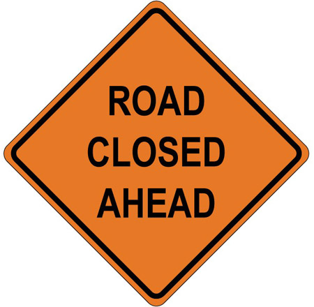
As flood waters from the Neuse River recede, many of the roads previously closed by the N.C. Department of Transportation and the Wayne County Office of Emergency Services are now open. A list of those roads and their current status, follow the link below to the NC DOT web site.
www.ncdot.gov/tims
Drivers are encouraged to call DOT at 511 to get the latest updates on road conditions before traveling.
Updated as of October 15 at 5 p.m.
• NC 111 (NC-111)North of Goldsboro / Mile Marker 25 Both Directions
• Edwards Store (SR-1102) South West of Goldsboro / Both Directions
• Cox Fish Pond (SR-1137) Near Goldsboro / Both Directions
• Hooks Rd (SR-1353) North of Goldsboro / Both Directions
• Old Mount Olive (SR-1926) Near Mount Olive / Both Directions
• US 117 (US-117) North of Pikeville / Both Directions
Slow downs --
• NC 111 A (NC-111) South of Goldsboro / Both Directions
• NC Hwy 222 (NC-222) North of Eureka / Both Directions
• NC-55 (NC-55) In Mount Olive / Both Directions
• Arrington Bridg (SR-1915) South of Goldsboro / Both Directions
• Main St (SR-1534) East of Pikeville / Both Directions
• Lightwood Knot (SR-1927) Near Goldsboro / Both Directions
• Powell Rd (SR-1722) East of Goldsboro / Heading North
• Old Mount Olive (SR-1938) North of Mount Olive / Both Directions
• Westbrook Church (SR-1100) West of Mount Olive / Both Directions
• W. Ashe St (SR-2075) In Goldsboro / Both Directions
• US 13 (US-13) West of Goldsboro / Both Directions